Search
Now showing items 1-3 of 3
Technical Considerations for Use of Geospatial Data in Sea Level Change Mapping and Assessment.
(NOAA, NOS Center for Operational Oceanographic Products and Services, Silver Spring, MD, 2010)
This document is intended to provide technical guidance to agencies, practitioners, and coastal
decision
-
makers seeking to use and/or collect geospatial data to assist with sea level change
assessments and mapping ...
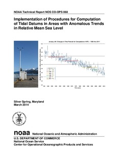
Implementation of Procedures for Computation of Tidal Datums in Areas with Anomalous Trends in Relative Mean Sea Level.
(NOAA, NOS Center for Operational Oceanographic Products and Services, Silver Spring, MD, 2014)
NOAA has typically updated tidal datum elevations for the nation to new National Tidal Datum
Epoch (NTDE) time periods every 20-25 years. Updates at this frequency are necessary due to
long-term global sea level ...
Estimating Vertical Land Motion from Long-Term Tide Gauge Records.
(NOAA, NOS Center for Operational Oceanographic Products and Services, Silver Spring, MD, 2013)
This report documents a methodology that can be used to estimate the vertical land motion
(VLM) at NOAA tide stations by performing an oceanographic analysis of the long-term data
sets. In the near future, VLM measurements ...