Browsing Miscellaneous Community Practices by Subject "Parameter Discipline::Marine geology"
Now showing items 1-12 of 12
-
Benthic Terrain Modeler (BTM) 3.0, tools for understanding and classifying the benthic environment. [Sofware]
(Esri, Redlands, CA, USA, 2018)A full tutorial with sample data is included with this zip file within the 'tutorial' directory. This self-paced training module introduces the benthic terrain modeling concepts used in the BTM, and steps users through ... -
Guideline of ocean observations, Volumes 1-10. 4th edition.
(The Oceanographic Society of Japan, Tokyo, Japan, 2020)The Oceanographic Society of Japan published the first edition of Guideline of Ocean Observations in September 2015 with an overview of oceanographic observations and the latest oceanographic and analytical methods. This ... -
Guideline of ocean observations. 1st edition. [Vols 1-10].[SUPERSEDED by DOI: http://dx.doi.org/10.25607/OBP-772]
(The Oceanographic Society of Japan, Tokyo, Japan, 2016)In recent years we have been building our knowledge of changes within the oceans through international cooperation and collaboration, for example, by re-occupation of World Ocean Circulation Experiment (WOCE); our ... -
Handbook of Oceanographic Winch, Wire, and Cable Technology, 3rd edition.
(National Science Foundation and Office of Naval Research, Washington, DC, 2001)This third edition to the Handbook of Oceanographic Winch, Wire and Cable Technology has been prepared to provide a reference and guide for the operation, handling and care of winches, wires, cables and oceanographic ... -
Manual de Referencia en Mejores Prácticas de Gestión de Datos Oceánicos Número 5 / 2020.
(Ed. Dimar, Bogotá D.C., Colombia, 2020)In the fifth year of operation and the 2015-2020 Work Plan completed, the National Oceanic Data and Information Coordination Committee (Spanish: Comité Técnico Nacional de Coordinación de Datos e Información Oceánica, CTN ... -
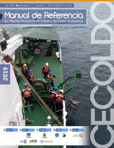
Manual de Referencia en Mejores Prácticas de Gestión de Datos Oceánicos, Número 4/2019.
(DIMAR, Bogotá D.C., Colombia, 2019)The “Colombian Oceanographic Data and Information Coordination Committee” (CTN Diocean, by its initials in Spanish) presents your Reference Manual on Best Oceanic Data Practices No.4/2019 "data and information archeology ... -
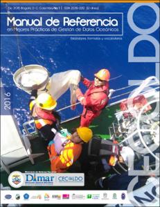
Manual de Referencia en Mejores Prácticas de Gestión de Datos Oceánicos. Número 1/2016.
(Dirección General Marítima, Bogotá D.C., Colombia, 2016)The “Colombian Oceanographic Data and Information Coordination Committee” (CTN Diocean, by its initials in Spanish) was created by Resolution No. 005/2015 of the Colombian Ocean Commission (CCO, by its initials in Spanish), ... -
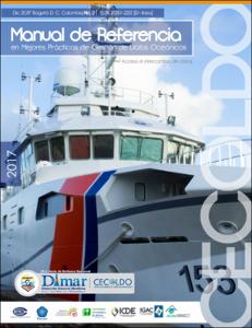
Manual de Referencia en Mejores Prácticas de Gestión de Datos Oceánicos. Número 2/2017.
(Dirección General Marítima, Bogotá D.C., Colombia, 2017)The “Colombian Oceanographic Data and Information Coordination Committee” (CTN Diocean, by its initials in Spanish) was created by Resolution No. 005/2015 of the Colombian Ocean Commission (CCO, by its initials in Spanish), ... -
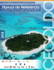
Manual de Referencia en Mejores Prácticas de Gestión de Datos Oceánicos. Número 3/2018
(DIMAR, Bogotá D.C., Colombia, 2018)The “Colombian Oceanographic Data and Information Coordination Committee” (CTN Diocean, by its initials in Spanish) was created by Resolution No. 005/2015 of the Colombian Ocean Commission (CCO, by its initials in Spanish), ... -
Recommendations for improved and coherent acquisition and processing of backscatter data from seafloor-mapping sonars.
(2018)Multibeam echosounders are becoming widespread for the purposes of seafloor bathymetry mapping, but the acquisition and the use of seafloor backscatter measurements, acquired simultaneously with the bathymetric data, are ... -
Sediment sampling.
(U.S. Environmental Protection Agency, Athens, GA, 2014)This document describes general and specific procedures, methods and considerations to be used and observed when collecting sediment samples for field screening or laboratory analysis. The procedures contained in this ... -
Unified Geomorphological Analysis Workflows with Benthic Terrain Modeler.
(2018)High resolution remotely sensed bathymetric data is rapidly increasing in volume, but analyzing this data requires a mastery of a complex toolchain of disparate software, including computing derived measurements of the ...