ECOBPSS Practices: Recent submissions
Now showing items 1-20 of 144
-
ICES Survey Protocols – Inshore beam trawl surveys, coordinated by Working Group on Beam Trawl Surveys (WGBEAM).
(International Council for the Exploration of the Sea (ICES), Denmark, Copehagen, 2024)This manual describes the current methodologies, stratification, and sample processing used in the inshore beam-trawl surveys that provide fisheries-independent information to the fish stock assessments for flatfish species ... -
SISP 1 - Manual for the International Bottom Trawl Surveys. Version 8. [ Replaced by SISP 10]
(International Council for the Exploration of the Sea (ICES), Denmark, Copehagen, 2012)The International Bottom Trawl Survey Working Group (IBTSWG) coordinates fishery‐independent multi‐species bottom trawl surveys within the ICES area. These surveys aim to provide ICES assessment and science groups with ... -
SISP 11 - Manual for the International Deep Pelagic Ecosystem Survey in the Irminger Sea and Adjacent Waters. Version 1.
(International Council for the Exploration of the Sea (ICES), Denmark, Copehagen, 2015)The Working Group on Deep Pelagic Ecosystem Surveys (WGIDEEPS), formerly known as Working Group on Redfish Surveys (WGRS) and Planning Group on Redfish Surveys (PGRS), has the responsibility of coordinating international ... -
SISP 9 - Manual for International Pelagic Surveys (IPS).
(International Council for the Exploration of the Sea (ICES), Denmark, Copehagen, 2015)This manual was developed through the ICES Working Group of International Pelagic Surveys (WGIPS) as a guide to the methodologies adhered to during the planning, execution and analysis phases of WGIPS coordinated surveys. The ... -
SISP 4 - A metadata convention for processed acoustic data from active acoustic systems. Version 10.
(International Council for the Exploration of the Sea (ICES), Denmark, Copehagen, 2016)Metadata is data describing data, and should allow potential users to determine the fitness for their purposes of that data from the metadata alone, without having to access the actual data. A metadata convention is a ... -
SISP 7 - Manual for the Baltic International Trawl Surveys (BITS). Version 2.
(International Council for the Exploration of the Sea (ICES), Denmark, Copehagen, 2017)This manual describes the coordinated survey design for Baltic international trawl surveys. Randomly stratified fishing-stations location is based on ICES subdivisions and their depth layers as strata to reflect the ... -
SISP 2 - Manual for the Midwater Ring Net sampling during IBTS Q1. Version 3.
(International Council for the Exploration of the Sea (ICES), Denmark, Copehagen, 2017)The Midwater Ring Net is at present the standard gear for sampling fish larvae during the North Sea International Bottom Trawl Survey in the first quarter. Fish larvae sam-pling during the IBTS Q1 was initiated in 1977. ... -
SISP 15 - Manual for International Pelagic Surveys (IPS).
(International Council for the Exploration of the Sea (ICES), Denmark, Copehagen, 2017)This manual was developed through the ICES Working Group of International Pelagic Surveys (WGIPS) as a guide to the methodologies adhered to during the planning, execution and analysis phases of WGIPS coordinated surveys. The ... -
SISP 8 - Manual for the International Baltic Acoustic Surveys (IBAS). Version 2.
(International Council for the Exploration of the Sea (ICES), Denmark, Copehagen, 2017)The acoustic surveys have been conducted in the Baltic Sea internationally since 1978. The starting point was the cooperation between Sweden and the German Democratic Republic in October 1978, which produced the first ... -
SISP 13 - Manual for egg survey for winter spawning fish in the North Sea. Version 2.
(International Council for the Exploration of the Sea (ICES), Denmark, Copehagen, 2018)Ichthyoplankton surveys, specifically targeting stage 1 (i.e. recently spawned) eggs provide invaluable data on the distribution of spawning. In the North Sea two such surveys were undertaken to examine the winter/early ... -
SISP 6 - Manual for mackerel and horse mackerel egg surveys, sampling at sea. Version 2.2.
(International Council for the Exploration of the Sea (ICES), Denmark, Copehagen, 2019)The working group on mackerel and horse mackerel egg surveys coordinates the Mackerel and Horse Mackerel Egg Survey in the Northeast Atlantic and the Mackerel Egg Survey in the North Sea, both carried out triennially. ... -
SISP 5 - Manual for the AEPM and DEPM estimation of fecundity in mackerel and horse mackerel. Version 12.
(International Council for the Exploration of the Sea (ICES), Denmark, Copehagen, 2019) -
SISP 10 - Manual for the International Bottom Trawl Surveys. Revision 11.
(International Council for the Exploration of the Sea (ICES), Copenhagen, Denmark, 2020)Series of ICES Survey Protocols SISP - IBTS X | 1 1 Introduction Overview of the survey The International Bottom Trawl Survey (IBTS) in the North Sea has been conducted in the 1st quarter of the year since the beginning ... -
Guide for the EMODnet Marine Spatial Planning Data Model. Working Paper.
(EMODnet, Oostende, Belgium, 2021)This guide describes the data model proposed by the EMODnet Human Activities team for presenting an EU-wide dataset on Marine Spatial Planning. The data set represents the marine spatial plans adopted by the Member States ... -
Biological Plankton Data. Version 3.
(International Council for the Exploration of the Sea (ICES), Copenhagen, Denmark, 2024)ICES Data Guidelines exist to support and promote expert science and, when properly adopted, ensure data are more efficiently handled and accurately managed. ICES operational Data and Information Group (DIG) has developed ... -
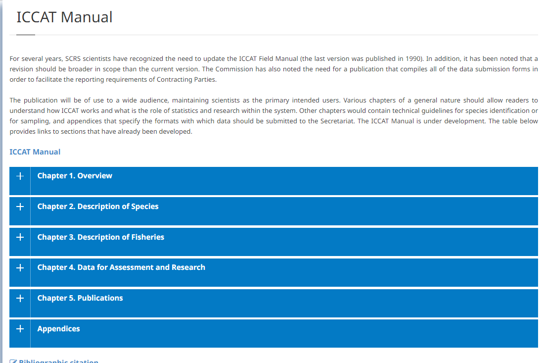
ICCAT Manual, (2005-2016).
(2016)Tunas and other large highly-migratory species are typically assessed and managed through international arrangements. Since the distribution of such stocks is not limited to the waters of any single sovereign nation, such ... -
Geotechnical and Geophysical Investigations for Offshore an Nearshore Developments.
(International Society for Soil Mechanics and Geotechnical Engineering, London, UK, 2005)This review of the aspects and techniques of marine site investigation has been produced by Technical Committee 1: Offshore and nearshore geotechnical engineering, of the International Society for Soil Mechanics and ... -
Guide du SHOM pour la Realisation des Leves Hydrographiques, Version 1.1.
(Service Hydrographique et Océanographique de la Marine (SHOM), Brest, France, 2019)Les levés hydrographiques sont axés sur la détermination de la profondeur dans la zone levée, la détection des relèvements du fond dangereux pour la navigation, et la mise à jour de l’information nautique environnante ... -
Standards for Hydrographic Surveys. Edition 4.
(Canadian Hydorgraphic Service, Ottawa, Canada, 2021)Hydrographic surveying is undergoing fundamental changes in measurement technology. The advent of satellite positioning systems, multibeam and multitransducer acoustic systems and sophisticated data processing systems ... -
Good Practice Guidelines for Hydrographic Surveys in New Zealand Ports and Harbours.
(New Zealand Government, Wellington, New Zealand, 2020)These guidelines provide guidance to decision-makers and operators for planning, carrying out and managing hydrographic surveys that: support the safe navigation of vessels in New Zealand ports and harbours help to ...