Search
Now showing items 1-10 of 18
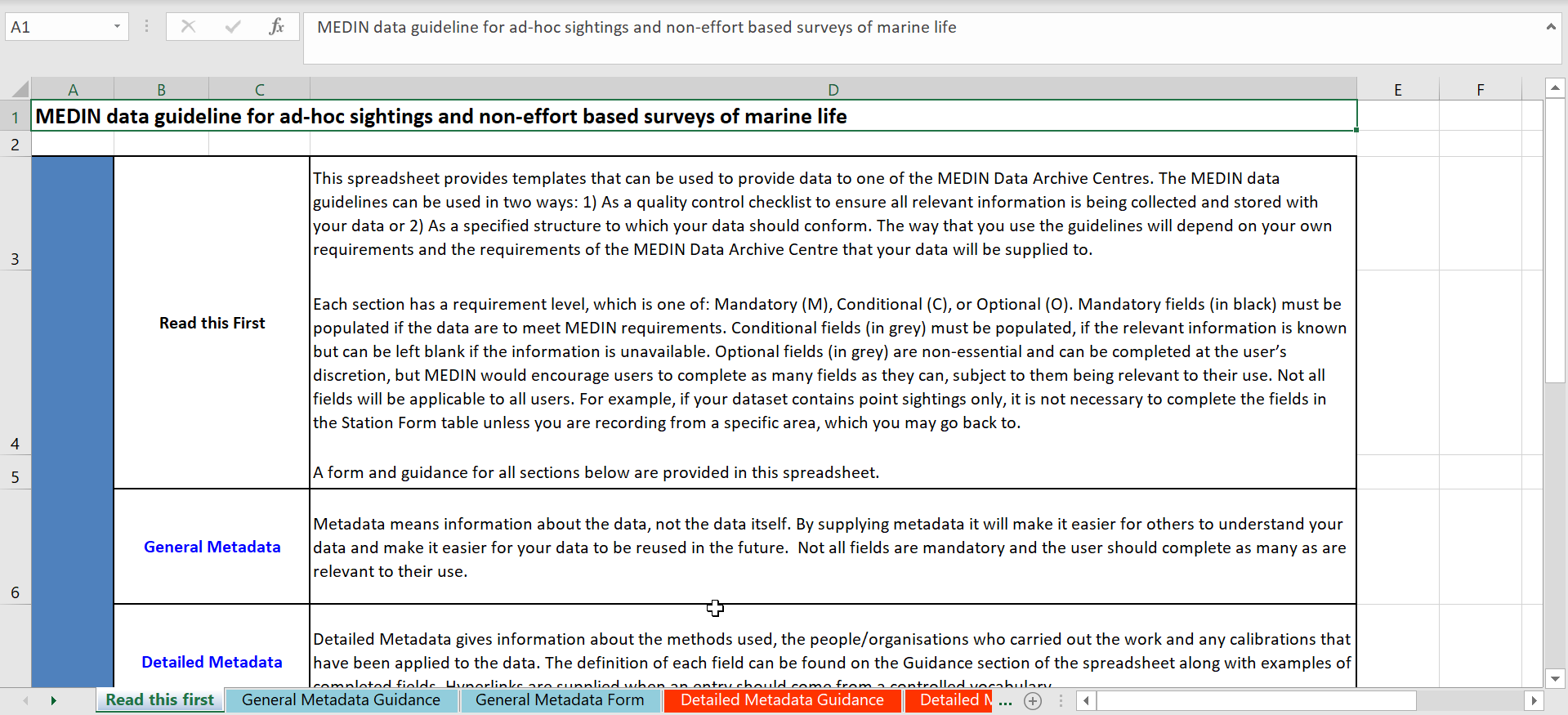
MEDIN data guideline for ad-hoc sightings and non-effort based surveys of marine life. Version 4.4.
(MEDIN, 2019)
This guideline defines the format of data collected on an ad-hoc basis for example a chance sighting of a species. Used correctly the guideline facilitates easy use and reuse of the data.
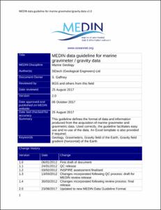
MEDIN data guideline for marine gravimeter/ gravity data. Version 2.0.
(MEDIN, 2017)
This guideline defines the format of data and information produced from the acquisition of marine gravimeter and gravimetric data. Used correctly, the guideline facilitates easy use and re-use of the data. An Excel template ...

MEDIN data guideline for seismic data. Version 1.4.
(MEDIN, 2014)
This guideline is a data archive standard for seismic data. It defines the format of data and information produced from the acquisition of multi (2D, 3D and 4D) and single channel/sub bottom profiler seismic data for Marine ...

Compilation of spatial data on marine recreation activities: Phase 2 Mapping marine recreation guidance: How to supply spatial data.
(Marine Management Organization, 2013)
This zip file contains a Marine Management Organisation (MMO) data guideline in two formats: a pdf file and an xls spreadsheet. The files contain identical information, but both formats are provided to meet different users’ ...
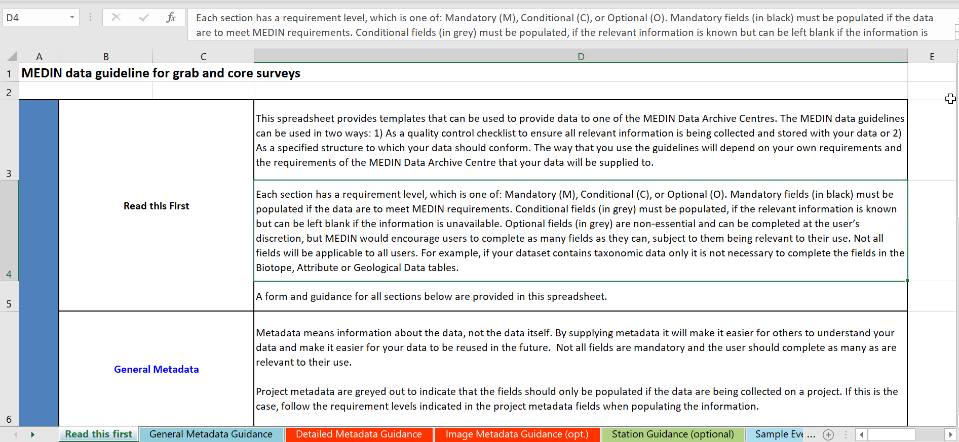
MEDIN data guideline for data by grab or core. Version 5.1.
(MEDIN, 2019)
This guideline defines the format of data and information produced from the sampling of sediment by grab or core, including Particle Size Analysis (PSA), taxonomic data, and biotope determinations. Used correctly the ...

Spatial trends in shipping activity (AIS derived shipping activity – data standards).
(Marine Management Organization, 2013)
This guideline comprises two pdf files, one is a report entitled ‘AIS Derived Shipping Activity - Data Standards’ and the other is a ‘Draft data guideline for the presentation of AIS Derived Vessel Spatial Data’. These ...
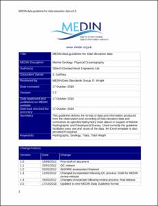
MEDIN data guideline for tidal elevation data. Version 2.0.
(MEDIN, 2018)
This guideline defines the format of data and information produced from the observation and recording of tidal elevation data and corrections to specified bathymetry chart datum in support of Marine Hydrographic and ...
MEDIN data guideline for magnetometer / magnetic gradiometer data. Version 2.0.
(MEDIN, 2017)
This guideline defines the format of data and information produced from the acquisition of magnetometer and magnetic gradiometer data. Used correctly, the guideline facilitates easy use and re-use of the data. An Excel ...
MEDIN data guideline for the recording of offshore geotechnical site investigation data. Version 2.4.
(MEDIN, 2016)
This guideline defines good practice for recording offshore geotechnical site investigation data including Oedometer, Triaxial testing, Cone Penetration Testing (CPT), Standard Penetration Testing (SPT), and Particle Size ...
MEDIN data guideline for acoustic Doppler current profiler (ADCP) data. Version 2.0.
(MEDIN, 2018)
This guideline defines the format of data and information produced from the observation of currents using acoustic Doppler current profiler (ADCP) methods to support Marine Hydrographic and Geophysical Survey. Used correctly ...